PICO PIENZU
Mountain Route
Ramp. 590 m.
Distance. 5.5 km.
Time. 3 h.
In Sierra del Sueve. (Parres – Colunga).
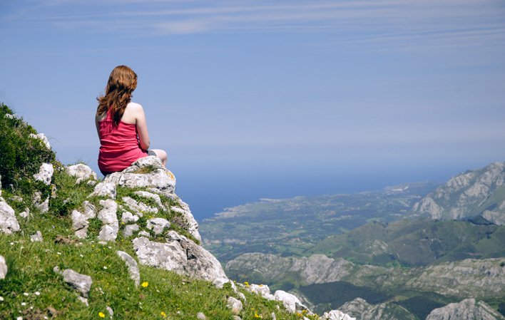
Pico Pienzu (1.161 m) is the highest point in the Protected Landscape of Sierra del Sueve. This fact, and its proximity to the coast (5 km) make the views from its summt especially spectacular .
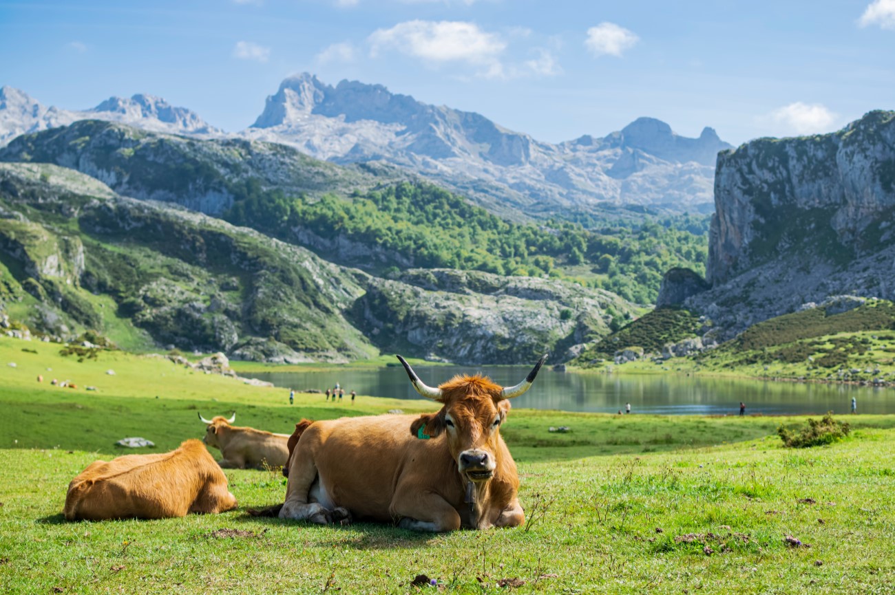
Among the fauna, we could highlight the fallow deer and specially the asturcón, legendary local wild horse that can be found in documentary references dating back 2.000 years.
Picu Pienzu track route.
In Arriondas, take the local road AS-260 towards Colunga to the Fito Viewpoint, where start off.
To Visit in the area.
• Cofiño. (Parres). Church of San Miguel (Romanesque) and Palace.
• Gobiendes. (Colunga). Church of Santiago de Gobiendes (10th century).
• Villanueva (Cangas de Onís). Convent of San Pedro (13th century). National State Parador Hotel.
Route description.
In Cruz de Llames or El Fitu viewpoint, (598 m) we take the path that leaves from the opposite side of the viewpoint and climbs up through pine tres, coming out a sort way alhead in an area of shrubland. The path weaves from one slope, with a fountain, the turns steepy uphill from here on to reach the Mergullines sheepfold (870 m), where we can see the renowned Brañafondera spring. We continue uphill amonmg pastyuresand shrubland to Beluenzu sheepfold, with splendid views.

Here there is a stretch to the Summit of El Pienzu that zig-zags up to make the going easier.
The view is spectacular on a clear day, reaching from Torrecerredo, Asturias highest peak in the middle of the Picos de Europa massif, to the coastline between Llanes in the east and Gijón to the west, through all the island towns and valleys of Eastern Asturias.


